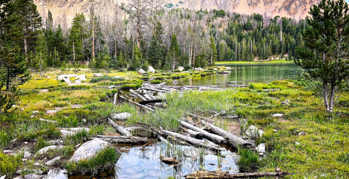
Hikes Near Stanley Idaho – Chamberlain Lakes and the White Clouds Wilderness
#PNW . Backpacking . Hiking . Idaho . Outdoor Recreation . Tent Camping . TravelContents of this Post
Some of the Best Hikes Near Stanley Idaho
Our Recommended Hikes: Fourth of July Lake, Washington Lake, and Chamberlain Lakes
If you’re heading out on hikes near Stanley Idaho, use this guide, trail map, and information about the White Clouds to plan your trip. We’ve put together a step-by-step guide to both the most accessible – but also more remote – lakes in the White Cloud Wilderness. Hike an easy two miles to Fourth of July Lake. Add another mile and a moderate climb to Washington Lake. Keep going for a more difficult 12-mile route to Chamberlain Lakes. Opt for the most challenging, technical climb back over the peaks, or follow the Chamberlain Basin back out. Use the Table of Contents above to search our post. Or keep scrolling for recommendations and images to inspire your next hike near Stanley Idaho in the White Clouds Wilderness!
The White Clouds Wilderness
The Idaho Legislature only recognized the Cecil D. Andrus-White Clouds Wilderness in 2015. It forms part of the wide-ranging Sawtooth National Recreation Area, one of our favorite wilderness areas in Idaho. The White Clouds sit along the Salmon River and Salmon River Mountains in the Salmon-Challis National Forest. To the South, you’ll find the Hemingway-Boulders Wilderness and the Jim McClure-Jerry Peak Wilderness. The larger Sawtooth National Recreation Area spans a large swath of Idaho. The wilderness area stretches from Central Idaho North of Stanley to the South Central region adjacent to the City of Rocks National Reserve. Hiking options abound. Our Chamberlain Lakes route provides the greatest variety of landscape and micro-climate in less than 25 miles round-trip. Or, you can hike just the first part of our route for a quick day hike to Fourth of July Lake or an overnight stay at Washington Lake.
Information About the White Clouds Wilderness
Fees, Permits, and Restrictions
- Motor Vehicle Parking and Access to the trailhead: Free
- There is no day-use fee or other federal fee to access the White Cloud Wilderness at the Fourth of July Creek Trailhead.
- Permits for up to 7 people: Free (Sign in at Trailhead)
- Permits for 8 or more people or stock: Free (Must obtain in Advance)
- Obtain a permit from the Forest Service Office or call the Sawtooth National Recreation Area at 208-727-5000.
- Maximum Group Size: 20 people or 25 head of stock.
Camping Near Stanley, Idaho in the White Clouds Wilderness
Camping Restrictions and Regulations
- No camping within 100 feet of trails, lakes, and streams.
- Stay in high traffic, existing camps like those at Fourth of July and Washington Lakes.
- No motorized vehicles or bicycles allowed in the White Clouds Wilderness Area.
- Keep pets leashed.
- Camping Stay Limits:
- Developed campgrounds: 10 day maximum stay.
- Dispersed camp sites: 16 day maximum stay North of Galena Summit. Relocate from original sites for 14 days at a distance of 10 miles or more.
Camp Fire Rules and Regulations
- In the wilderness area, you must use a fire pan, fire blanket, or existing fire rings for any camp fires.
- Gas stoves recommended. Stoves are more efficient for food preparation and conserve scarce alpine wood resources.
- Use only use dead and down wood if you do build a fire in an emergency.
- Wood is limited in these high alpine areas. Camp fires are not allowed within 200 yards of the following lakes:
- Cirque Lake
- Cove Lake
- Sapphire Lake
- Sheep Lake
- Slide Lake
- Tin Cup Lake
- Gunsight Lake
- Four Lakes Basin
- Scree Lake
- Shallow Lake
- Castle Lake
- Chamberlain Lakes
- 9849 Lake
“The Cecil D. Andrus-White Clouds Wilderness is a special area due to its combination of sub-alpine lakes, abundant creeks, hiking trails and the limestone and metamorphic silicates which give the mountain peaks its striking white appearance. [N]umerous spectacular mountain peaks [include] Prospect Point, Robinson Bar Peak, Lookout Mountain, Watson Peak, O’Calkens Peak, David O. Lee Peak, Merriam Peak, Castle Peak and Blackman Peak, many of which are over 10,000 feet in elevation.”
– U.S. Dept. of Agriculture Forest Service Website
Sanitation Regulations – White Clouds Wilderness
- Remove all evidence of your stay and keep visited areas clean.
- Wash 150 feet away from lakes and streams, and do not rinse your washing into bodies of water.
- Pack-it-in, Pack-it-out. This includes:
- Trash;
- Food scraps;
- Toilet paper;
- Any other waste produced during your visit.
- Bury human waste:
- more than 100 feet from water sources;
- In a hole 6-8 inches deep covered with soil.
- For additional information regarding stock, stock grazing, containment, and feed in the wilderness area, visit the USDA Forest Service website for the Cecil D. Andrus-White Clouds Wilderness.
White Clouds Wilderness Contact Information
Sawtooth NRA, Stanley Office
HC64, Box 9900
Stanley, ID 83278
208-774-3000
Sawtooth National Recreation Area (Sawtooth NRA)
5 North Fork Canyon Road
Ketchum, ID 83340
208-727-5000 or 1-800-260-5970
Ketchum Ranger District
206 Sun Valley Road
Sun Valley, ID 83353
208-622-5371
Planning hikes near Stanley Idaho in the White Clouds Wilderness soon? Use our links to get discounted car rentals from Boise, essential Camelbak gear, and more! Our site is partly supported by affiliate partnerships; your purchases through our affiliate links help support our site and the development of even more great content!
Getting to Stanley Idaho and the White Clouds Wilderness
Three Routes to the Fourth of July Creek Trailhead
You can access the Fourth of July Creek and White Clouds Wilderness near Stanley Idaho from three main routes. The first two approach from the South and Southwest, from Sun Valley and Twin Falls along the I-84 corridor or Boise and the Treasure Valley. The third route approaches from the North, coming from Missoula through Salmon to Stanley. Stanley is the only place in the U.S. where three scenic byways converge. So you can take any of the three to arrive at FS Road 209 and access to the White Clouds and the Chamberlain Lakes Loop.
Driving from Boise through Sun Valley
Boise to the Fourth of July Trailhead: 212 miles (341 km)
- Boise to Mountain Home, Idaho: 44 miles (71 km)
- Mountain Home to Sun Valley, Idaho: 112 miles (180 km)
- Sun Valley to National Forest Road 209: 47 miles (76 km)
- NF Road 209 to Trailhead: 10 miles (16 km)
Driving from Boise through Lowman and Stanley
Boise to the Fourth of July Trailhead: 159 miles (256 km)
- Boise to Lowman, Idaho: 75 miles (121 km)
- Lowman to Stanley, Idaho: 58 miles (93 km)
- Stanley to National Forest Road 209: 15 miles (25 km)
- NF Road 209 to Trailhead: 10 miles (16 km)
Driving from Missoula through Salmon
Missoula to the Fourth of July Trailhead: 282 miles (454 km)
- Missoula, Montana to Salmon, Idaho: 140 miles (225 km)
- Salmon to Stanley, Idaho: 116 miles (187 km)
- Stanley to National Forest Road 209: 15 miles (25 km)
- NF Road 209 to Trailhead: 10 miles (16 km)
Hiking to Chamberlain Lakes via 4th of July and Washington Lakes
Trail Map and Route
For this hike, we chose a 17 miles route to the Chamberlain Lakes Basin returning over Patterson Peak. This shortened the trip from 24 miles round trip by almost 7 miles. Even though this cut down on the total mileage, we do not recommend hiking Patterson Peak unless you have some technical climbing experience and skill. Without proper equipment and experience, this traverse can be extremely dangerous. We’ve divided the route into the following sections. The mileage refers to our actual miles on the route map above, so refer back to the map above for exact locations.
Hiking Trail Segments in This Post
- Fourth of July Lake (Miles 1-2)
- Washington Lake (Miles 2-3)
- Washington Lake Creek to the Livingston Mill Castle Divide Trail (Miles 3-6)
- Southern Fork to the Castle Divide Saddle (Miles 6-8)
- Castle Peak (Miles 8-10)
- Chamberlain Lakes (Miles 10-11)
- 9849 Lake (Miles 11-12)
- Patterson Peak (Miles 12-13)
- Descent to Fourth of July Lake (Miles 13-15)
- Back to the 4th of July Lake Creek Trailhead (Miles 15-17)
Fourth of July Lake (Miles 1-2)
Getting to the Fourth of July Creek Trailhead
Once you leave Highway 75 between Stanley and Sun Valley, you’ll have about 10 miles of washboard dirt road to the trailhead. From the turnoff elevation of about 7,000 feet, you’ll climb to 8,600 feet at the trailhead. The bumpy road crosses and follows the 4th of July Creek. It follows a ridge of peaks that range from 9,600 to 9,800 feet, ending just below Blackmon Peak, an impressive 10,200 feet in elevation. Several loops near the trailhead provide ample parking, even during the busy peak season. The short hike to Fourth of July Lake makes this a popular destination for families and others with limited mobility.
Hiking to Fourth of July Lake
Fourth of July Lake sits at 9,300 feet elevation, surrounded on almost all sides by towering 10,000 feet plus peaks and ridges. From the trailhead to the lake, you’ll climb a total of about 700 feet. The path meanders through the forest, and the dusty trail climbs slowly but steadily over the easy two-mile hike. But remember that even though the distance and elevation gain are not significant, you are hiking at high mountain elevations to begin with. So unless you’re used to higher elevation hiking, you may notice the effects of the higher altitude.
Camp Sites and Recreation at Fourth of July Lake
For group overnight hikes near Stanley, Idaho, Fourth of July Lake is a popular choice. Ample camp sites sit to the North and South of the lake, on either side of the inlet and outlet to the lake. Because of its location and short distance, the lake can get busy in the summer, so you may want to consider continuing another mile over the small saddle to Washington Lake for more privacy and seclusion.
Washington Lake (Miles 2-3)
Hiking the Saddle to the Washington Lake Basin
From Fourth of July lake to the saddle that divides that from the Washington Lake Basin, you’ll only have to climb about 300 feet in elevation. The small lake (below) that sits at the top of the saddle is right at 9,600 feet. By the time you finish the mile or so between lakes, you’ll descend another 200 feet to Washington Lake. Washington Lake’s outlet sits at 9,400 feet.
Camping at Washington Lake
Dispersed Camping Sites
When you first approach Washington Lake from the Northwest, you’ll notice stands of trees along the first section of lake beyond the trail. The North side of the lake also has some sheltered areas, and there is a large wooded area on the Southeast corner of the lake, as well. Previous backpackers have used the flat, sheltered areas for camping, and you can see many of the best spots in those areas as you approach from the trail. Between the forested sections, a large alpine meadow stretches along the center of the lake. For our one night stay at Washington Lake, we set up our ultralight tent here for open views of the lake and the night sky.
Sunsets and Photography at Washington Lake
Washington Lake is only about 3 miles from the trailhead, but it feels much more remote and isolated than 4th of July Lake. If you aren’t planning a full loop and longer backpacking trip, Washington Lake is a great destination. You’ll climb a total of about 1,000 feet in elevation and descend another 200 to Washington Lake. The clear, alpine waters and surrounding ridge provide beautiful views and lots to photograph. And if you time it right, you can capture colorful high-elevation sunsets as the sun disappears just over the saddle, back toward 4th of July. Be sure to bring a polarizing filter for your D-SLR so you can play with reflections and cut through to the bottom of the lake in your photos.
Leave No Trace
Whether you’re hiking through or stopping at Washington Lake for a few days, be sure to pack out anything you bring with you. We’d also recommend camping near the stands of trees if you plan to camp more than one night. This is because hardy but sparse high-elevation vegetation grows slowly. It does not recover as quickly from damage caused by tents and other objects that can kill the alpine shrubs and grasses from overuse. And if you camp near the water’s edge, remember to rinse and clean several hundred feet away from the lake.
Washington Lake Creek to the Livingston Mill Castle Divide Trail (Miles 3-6)
Hiking Along the Washington Lake Creek Trail
The next three miles, from Washington Lake to the Southern fork, will be some of the easiest of the whole hike. For about 2 1/2 miles, the trail follows the Washington Lake Creek South, slowly descending along the ridge, back to the same elevation as the trailhead. You’ll descend about 800 feet from the lake, down to 8,600 feet. Then the trail cuts back up the ridge and joins the Livingston Mill Castle Divide Trail that runs North to South through this area. At this trail fork, you’ll have climbed back to 8,900 feet. Take the path North (left) to continue back around toward Castle Peak.
Southern Fork to the Castle Divide Saddle (Miles 6-8)
Hiking North Along the Livingston Mill Castle Divide Trail
In this section of the hike, you’ll make up the elevation lost along the Washington Lake Creek Trail. From the Southern fork and the end of the Washington Lake Creek Trail, you’ll climb nearly 900 feet elevation to the saddle overlooking Castle Peak. Slow, gradual sections of trail alternate with steeper switchbacks throughout this 2 mile stretch. You’ll mostly hike through forested alpine hillsides, with sparse ground vegetation and a dry, dusty trail. Looking back to the South, you’ll see layers of peaks past Germania Creek in the ravine. Galena and Glassford Peaks sit beyond the East Fork of the Salmon River, and the mountain ranges stretch on for miles into the distance.
The Livingston Mill Castle Divide Saddle
The Approach
The last stretch of this section leading to the saddle at 9,760 feet is the steepest. The trail cuts up the ridge with steep sections and switchbacks, but as you reach the peak, you’ll have one of the best views of Castle Peak in all of the White Clouds Wilderness. A few trees along the ridge provide shelter from the sun. And this is a great spot to take a break, eat a snack, and take in the sweeping views of Castle Peak and the Chamberlain Lakes Basin.
The Views
From this high-elevation saddle along the Livingston Mill Castle Divide Trail, you’ll have some of the widest views of the White Clouds Wilderness. You can see South and East over multiple ranges. And you have an unobstructed view of the South side of Castle Peak, the tallest mountain in the White Clouds, at 11,815 feet in elevation. A little higher along the ridge you can see back to the Washington Lake Basin area and beyond. This vantage point is central and one of the best places to take in 360 degree views.
Castle Peak (Miles 8-10)
Hiking Down to the Chamberlain Creek Trail
Alpine Lake Crossings
From the saddle, the Livingston Mill Castle Divide Trail cuts down the ridge and descends almost 600 feet in elevation to cross Chamberlain Creek at 9,200 feet. Like the descent from Washington Lake, this is a gently sloping downward hike spread over about 2 miles. The hike takes you along the ridge and wide open meadows, and next to several alpine lakes.
Approach to Chamberlain Lakes
After passing several smaller lakes that drain into Chamberlain Creek further down the Basin, you’ll enter a more densely forested area around the edge of the lowest Chamberlain Lake. This is a popular camping spot, and dispersed camp sites can be found all around the edge of the lake. The drainage from the upper lakes creates dense, lush vegetation around this area. It’s also a great area for spotting wildlife and diverse alpine plant species.
Chamberlain Lakes (Miles 10-11)
Chamberlain Creek Crossing
The Chamberlain Creek Trail
After hiking along the lower Chamberlain Lake, you’ll arrive at the Eastern-most point, the outlet of the lake and Chamberlain Creek. The trail leads down to an easy crossing, and the trail forks on the other side, at the base of Castle Peak. Here, you’ll follow the trail West (left). (The Livingston Mill Castle Divide Trail continues East (right), following the Chamberlain Creek Trail a bit before splitting off North. It then winds up around Castle Peak toward Little Boulder Creek and Castle Lake).
Follow the Chamberlain Lakes to the Northwest
Once you cross Chamberlain Creek, you’ll head West and then Northwest along the Creek, from one alpine lake to the next. The landscapes in this Basin change frequently from one lake to the next. From dry, rocky crags along Castle Peak to wet bogs and marshes, this stretch contains a surprising variety of ecosystems. As you climb from one lake to the next, the Basin becomes more exposed. You’ll begin to see the Castle Peak ridge that encircles the Basin to Patterson Peak. And you’ll likely hear and feel strong winds that blow down into the Chamberlain Lakes Basin. This dramatic landscape gets even more rugged and harsh the further in you get.
The Last Chamberlain Lake
After the windy walk around the largest Chamberlain Lake, you’ll find a high mountain stock camp to the Northeast of the lake. Just beyond that, you can follow the creek up a small rise to a smaller, secluded lake that sits at the base of Castle Peak and the surrounding ridge. This lake is protected from the higher winds down below where the Basin opens up. Wildflowers and thick grasses line the bank. A rocky lake bottom provides excellent photographic subject matter and a nice foot massage. Some dispersed camp sites can be found around these last two lakes, mostly in the trees along the shore.
9849 Lake (Miles 11-12)
Hiking to 9849 Lake
Finding a Passable Route
With the exception of our final traverse over Patterson Peak, the hike, scramble, and climb to 9849 Lake is the steepest and most difficult section of the entire hike. The Chamberlain Creek Trail ends at the final Chamberlain Lake (above), so to get to 9849, you’ll have to find a passable route. Loose scree, the mass of small stones covering the mountain, makes this even more difficult. Rather than circling around to the 9849 outlet, we continued Northwest at the end of the Chamberlain Creek Trail to find a passable ascent.
Scrambling up to 9849 Lake
The first section of the climb leaves the end of the Chamberlain Creek Trail and ascends over loose scree along a ravine. As you climb higher, the pitch of the climb increases and the ravine narrows significantly. This is still more accessible than the approach to the Southwest, around the 9849 Lake outlet and creek. In all, the elevation between the final Chamberlain Lake to 9849 only differs about 350 feet. But the views of the Basin and remoteness of 9849 are well worth the extra effort.
Camping at 9849 Lake
Where to Set up Camp
There are plenty of flat areas to camp all around 9849 Lake. The West side of the lake features several islands, depending on water levels, and the best views of Castle Peak and the distant White Clouds peaks over the outlet drop-off. Be prepared for gusts of wind that blow through this high, exposed area. You can also hear the occasional rock slide or tumbling boulder from Castle Peak and the surrounding ridge.
Tent Camp. On an Island. In an Alpine Lake.
The lake is well away from any slide areas or risk of falling objects. But if you’re not used to howling winds that can last well into the night, you may be more comfortable along the more sheltered Chamberlain Lakes below the ridge. We camped out on the lake, on one of the land masses that is connected to the shore on the West side. Earlier in the season, with higher water levels, this forms one of the islands in the lake.
Exploring Around 9849 Lake
The rocky rim overlooking the Chamberlain Lakes Basin provides an interesting area to explore. Sparse trees and vegetation grow closer to the water source, especially along the outlet that plunges to form Chamberlain Creek below. The shallow edges of the lake make it easy to dip in and refresh after your long hike in. And the landscapes and natural features offer endless photographic opportunities. Of all the lakes we’ve visited so far, this is our favorite.
Sunsets and Views from 9849 Lake
Views of the White Clouds from 9849 Lake
This spot at 9849 Lake provides one of the best vantage points for taking in Castle Peak and the layers of mountain ranges beyond. You can see all the way back to the Livingston Mill Castle Divide Trail saddle and the Southern peaks beyond. You can visually follow the Chamberlain Creek Trail back from lake to lake down around the South side of Castle Peak. And then you can camp just 2,000 feet elevation below the highest peak in the White Clouds Wilderness.
Sunsets at 9849 Lake
The sun sets beyond Patterson Peak, opposite Castle Rock. So most of the color you’ll see on this side of the mountains will be the fading sunlight on Castle Peak. We had some smoky skies from wildfires elsewhere in the state and the West, so that added some haziness and color to an otherwise clear sky. As the sun goes down, the emerald Chamberlain Lakes turn an even deeper shade of green. And Castle Peak glows in the fading sunlight.
Patterson Peak (Miles 12-13)
Where is Patterson Peak?
Patterson Peak separates 9849 Lake and the Chamberlain Lakes Basin from Fourth of July Lake. At 10,877 feet, it’s less than 1,000 feet below Castle Peak. And it adjoins Castle Peak along a long, narrow ridge. Moving from Castle Peak to Patterson Peak and further down the ridge, there is a slight decrease in elevation. This saddle, to the Northwest of 9849 Lake and South of Patterson Peak, measures just over 10,200 feet. This is the place we decided to cross.
Hiking to the Patterson Peak Saddle
Should you Take this Route?
The route over the Patterson Peak saddle cuts off about 7 miles from a round-trip hike in and out of the Chamberlain Lakes Basin. After hiking 13 miles in, the thought of a new and different route back out can be appealing. But we recommend taking this technical shortcut ONLY if you have climbing experience and are comfortable bouldering and climbing loose rock and extensive scree fields. The climb on the Chamberlain Lakes side is steep but not extremely difficult. The descent to Fourth of July Lake, however, is dangerous, unstable, and not recommended.
The View to the West – Fourth of July Lake Basin
From this point above 10,000 feet, you can see down to 4th of July Lake and the Sawtooth Mountains to the West. Massive boulder fields and crumbling cliffs separate the saddle from the basin below. Several possible routes exist, and the scree field looks more passable to the North of Patterson. Peak. At this juncture, though, we found a route that involves less climbing and more bouldering.
Descent to Fourth of July Lake (Miles 13-15)
Finding and Testing a Route
The incline of the initial descent over the Patterson Peak saddle frequently reaches 50 degrees or more. Unlike rock climbing a solid face, though, most of the boulders are loose and precarious. The rocks are so loose in this section that we had to separate to avoid sending a boulder crashing down on one another. We searched up and down the saddle for the best approach. If you decide to take this route, you can use our route map above to find the exact spot where we crossed over.
Alternate Route Options
Another option would be to hike our route in reverse. Based on the difficulty of this section compared with the East side of the saddle, it would be better to ascend from 4th of July. Then, you could stay at 9849 Lake the first night and hike out to the South, around to Washington Lake. This might be a slight bit safer than our descent, but we still recommend caution and knowing your limits and skill level.
Back to the 4th of July Lake Creek Trailhead (Miles 15-17)
Following the Fourth of July Creek
Once you make it over and down the most treacherous section of the mountain, you’ll only have about a mile left to Fourth of July Lake. The steep, rocky scree gives way to green meadows and the start of the 4th of July Creek. Follow this down through dry alpine terrain and you’ll end up at the South end of the lake. The main trail parallels the creek near the inlet to the lake, so you can join the trail to get back to the lake, as well.
Back to the Trailhead
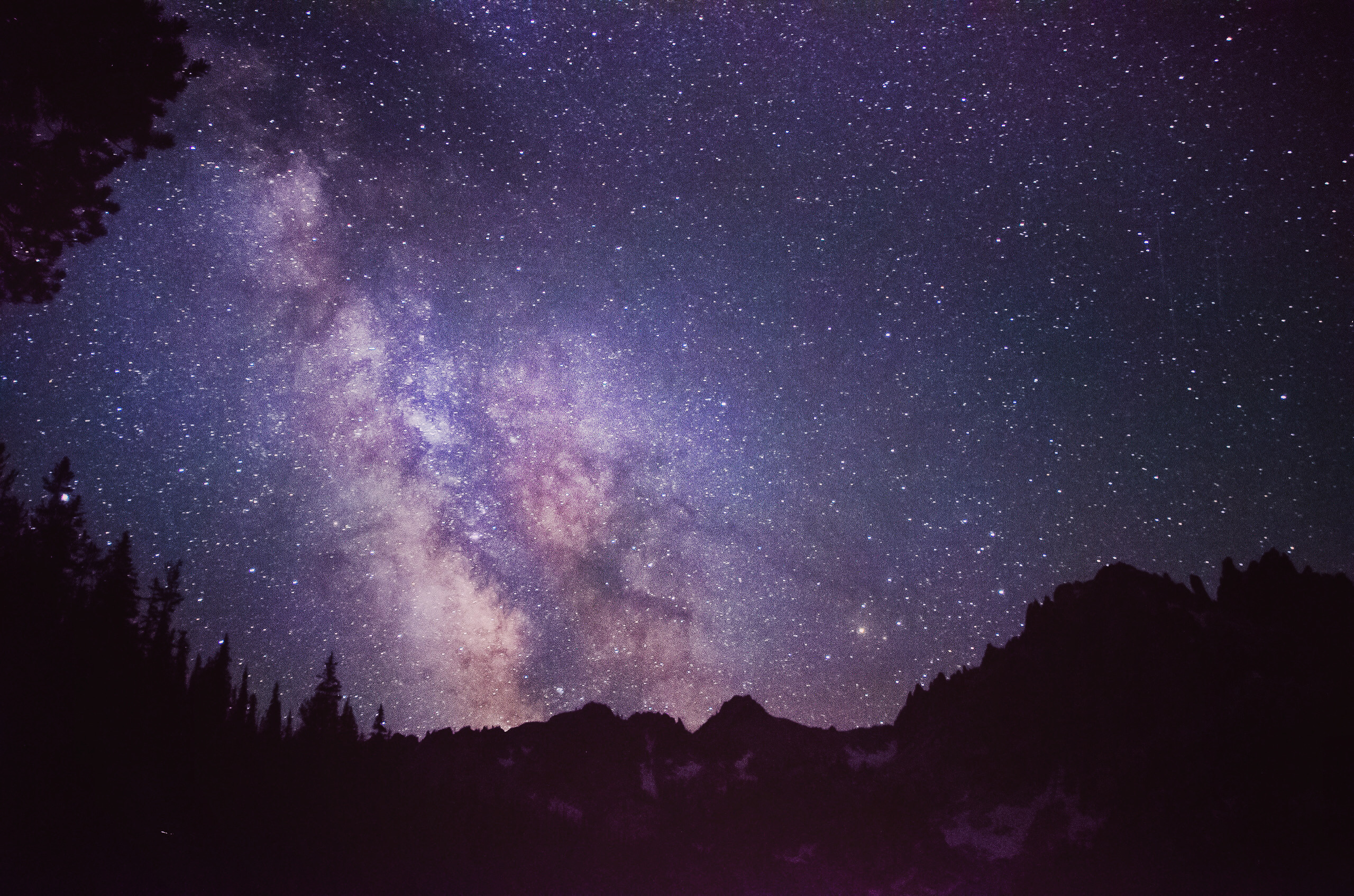
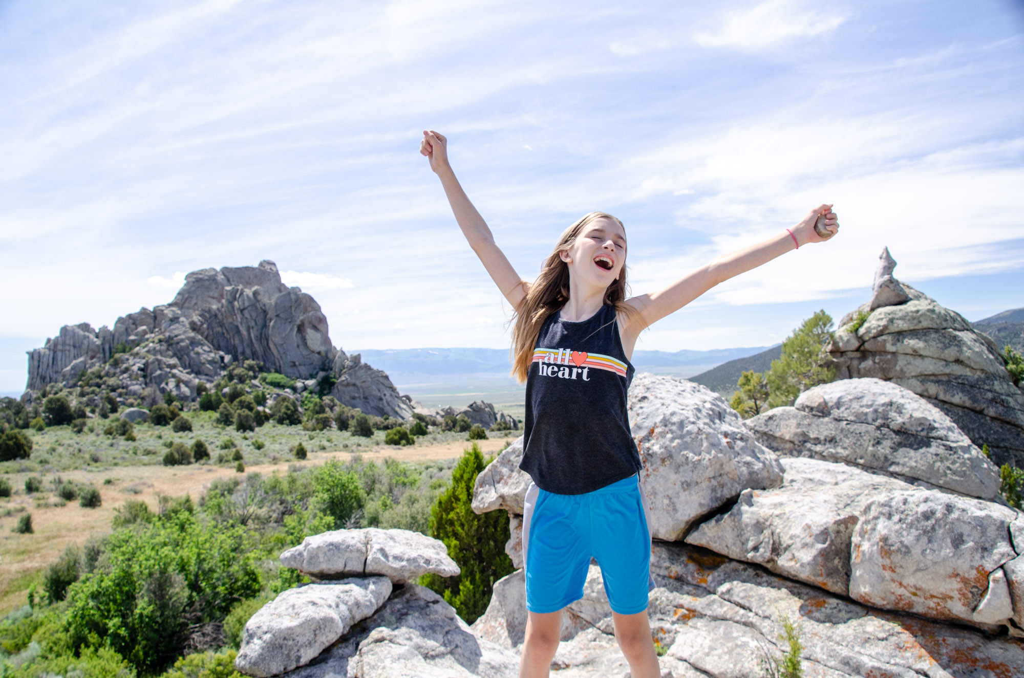
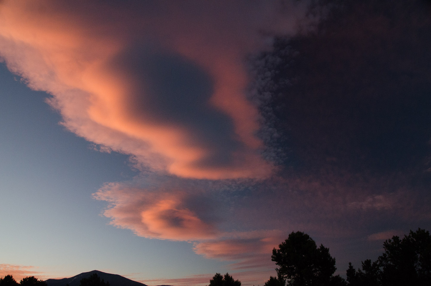
As you can see in the two images below, the descent from the Patterson Peak saddle to Fourth of July Lake is not the easiest route to take. It may be the most direct from the Chamberlain Lakes Basin, but it is by far the most difficult. Once back to Fourth of July Lake, though, it’s a relatively easy two miles back to the trailhead.



Wonderful, Informative write up! We want to take a backpacking trip with our kids to the Chamberlain Lakes Basin at some point, and this gives us the info we need! Great photos, and the details are perfect. Thanks!
Great! So glad you found it useful, Amanda. It’s hard to find detailed, step-by-step guides to kid-friendly backpacking destinations. This really is an incredible hike. Enjoy, and let us know how it goes!